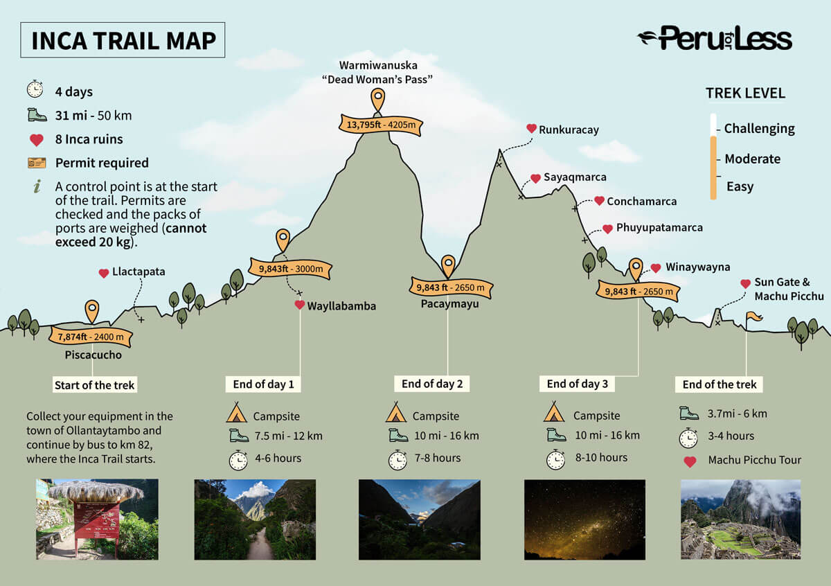
The Inca Trail is one of the most exciting treks in the world. We created a detailed Inca Trail map to help travelers navigate their way through this unforgettable adventure.
Read more about:
Updated by Melissa Dreffs in June 2020.
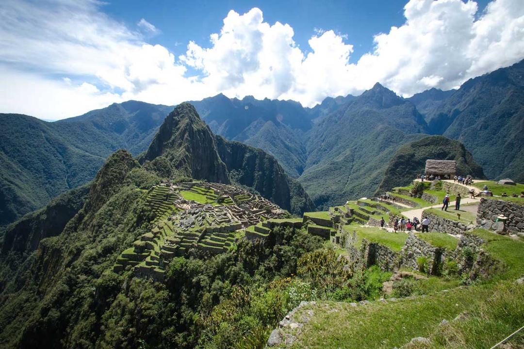
The world-famous 4-day Inca Trail to Machu Picchu covers 31.2 miles (50 kilometers) from start to finish. The path is a sacred part of what was an extensive network of Inca footpaths called Qhapaq Ñan, meaning “Royal Road.” It was once the only route leading to the remote citadel, and today offers a unique way of arriving at the Historic Sanctuary of Machu Picchu through the Sun Gate.
Download Bonus: View our Inca Trail map on a larger scale as a PDF.
Walking Distance: 7.4 mi (12 km)
Gradient: Moderate
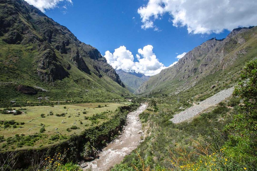
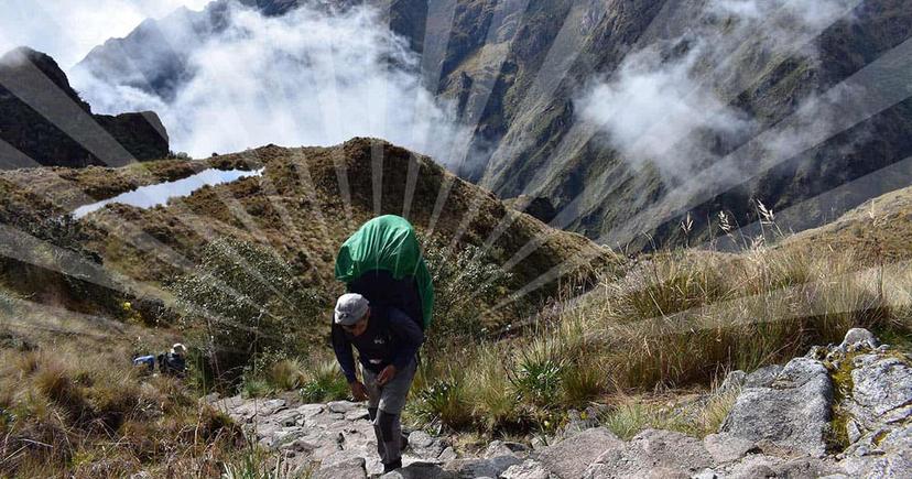
Trekkers collect their equipment in the town of Ollantaytambo and continue by bus to km 82, where the Inca Trail starts. Hikers pass through the control point and cross a bridge to the other side of the Urubamba River. The Inca Trail parts from the train tracks that mirror the river’s path through the Sacred Valley.
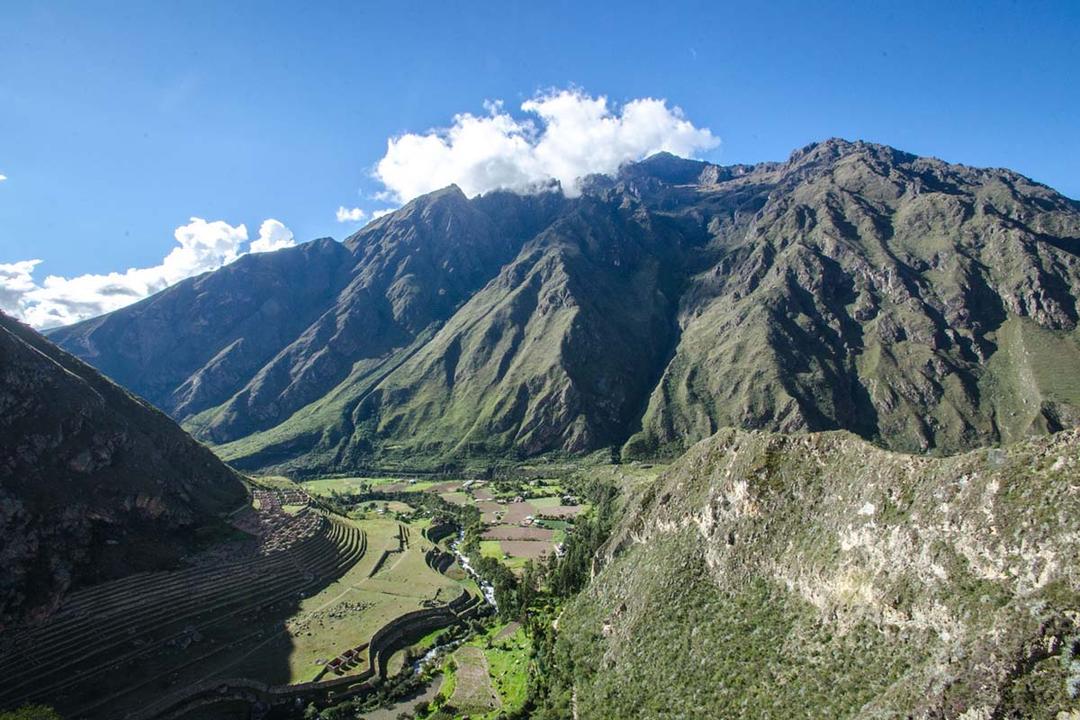
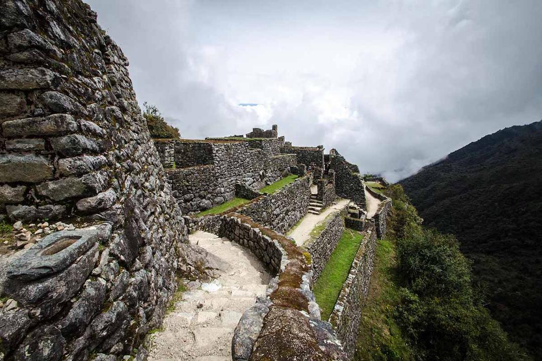
The terrain gradually climbs uphill towards Llactapata, a massive archeological site containing terraces and hundreds of housing structures. After lunch, walk for roughly two more hours to the first designated campsite of the Inca Trail at Wayllabamba.
Walking Distance: 6.8 mi (11 km)
Gradient: Challenging
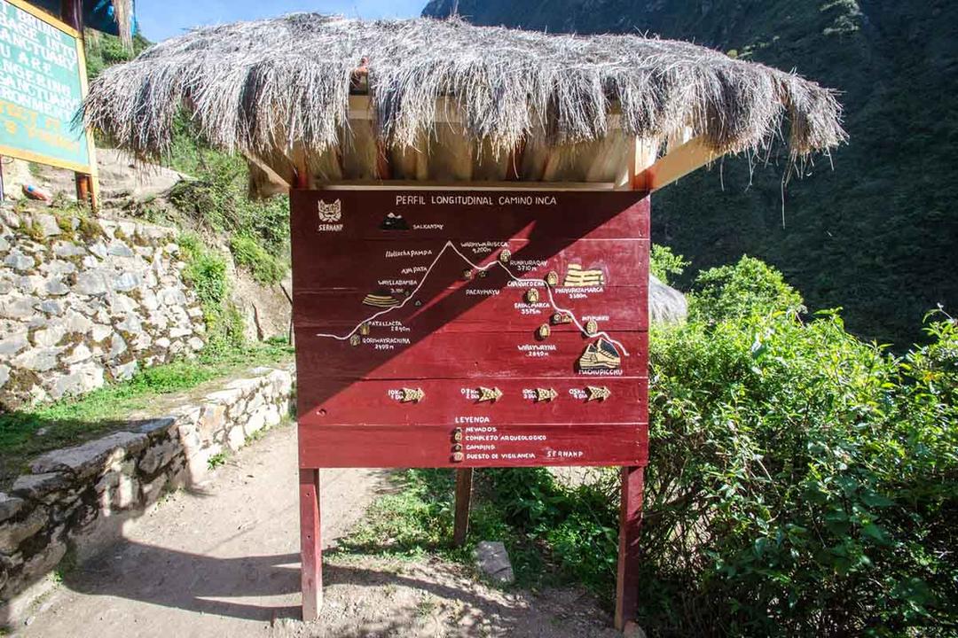
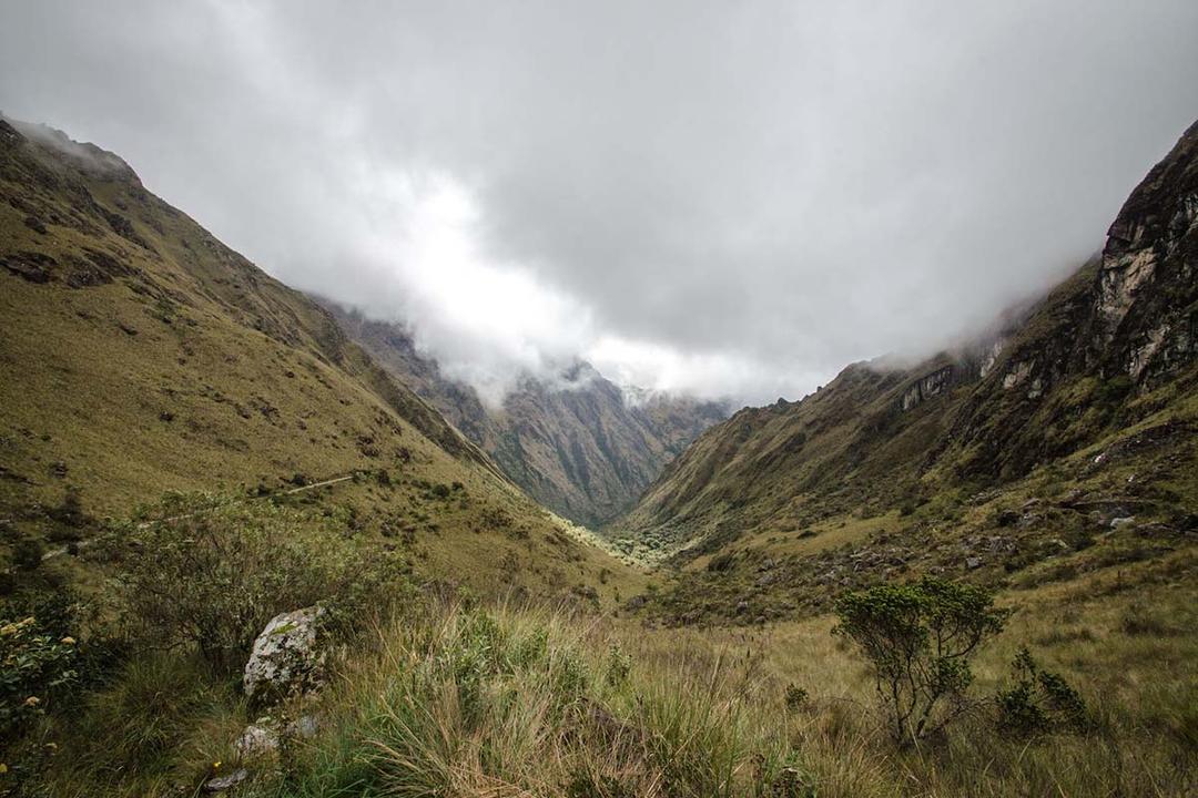
The second day of the trek is the most difficult. After breaking camp, the walk going up to Abra de Warmiwanusca, or Dead Woman’s Pass, is arduous and steep. Trekkers should go at their own pace and drink plenty of water. Note in the sectional view of the trail map that Abra de Warmiwanusca is the highest point in the trek with an elevation of 13,795 feet (4,205 meters).
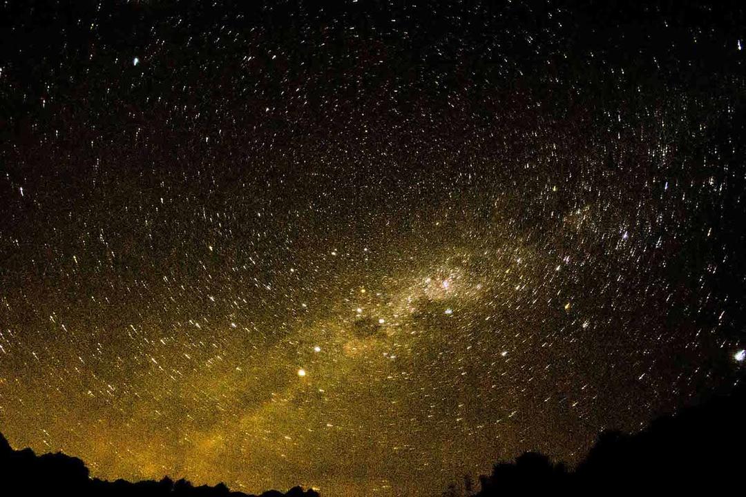
The trail landscapes change from the moderate temperatures of the Sacred Valley to the arid and cold high plains. The camp is set up at Pacaymayu. Far away from bright city lights, hundreds of twinkling stars are visible overhead. Read more about Inca stars and constellations.
Distance: 10 mi (16 km)
Gradient: Moderate
Archaeological gems are the highlights of the third day of the Inca Trail.
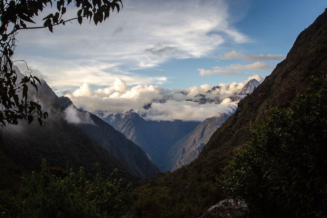
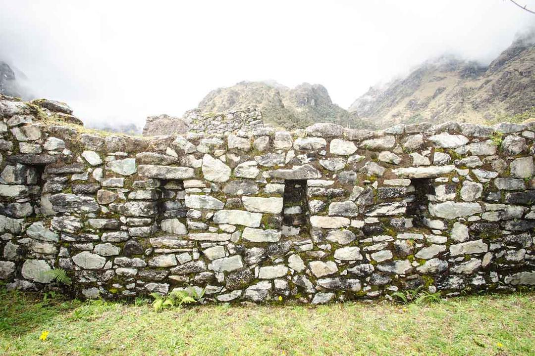
The ruins of Runkurakay are semi-circular in design and reside in a location with a beautiful view of the Valley of Pacaymayu, or “Hidden River” Valley below. The next pass is a steep climb away but offers gorgeous vistas of the Vilcabamba and Pumasillo mountain ranges.
Trekking Tours:
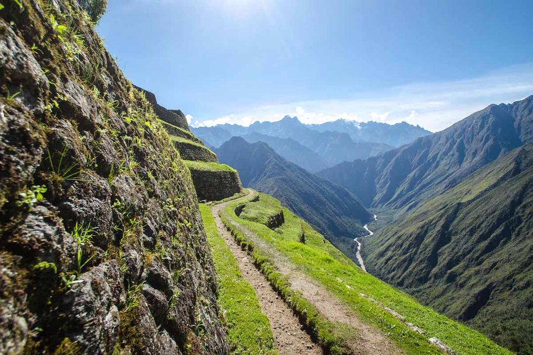
Continuing the ascent, trekkers pass the third and final mountain pass of the trek at Phuyupatamarca, undoubtedly one of the most unique villages along the Inca Trail. It’s located on the side of a ravine looking down on the Urubamba River surrounded by terraces. The ruins are covered in a blanket of mist more often than not.
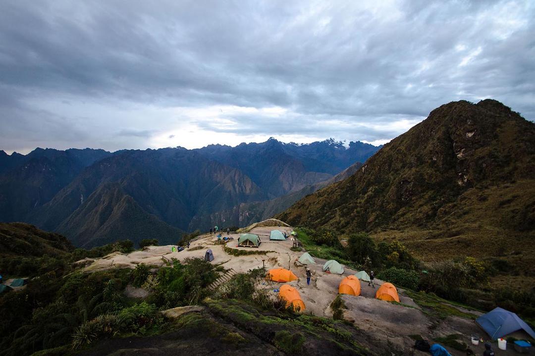
Trekkers camp at Winaywayna.
Distance: 3.7 mi (6 km) to Machu Picchu
Gradient: Moderate
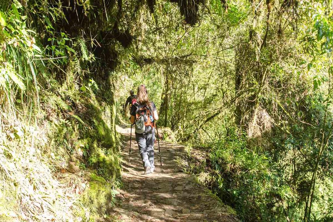
Wake up before the sun on the fourth and last day of the Inca Trail. After an early breakfast at 4:30 am, the group is on the trail by 5 am to head to Inti Punku, the Sun Gate entrance to Machu Picchu. Then it’s time to discover Machu Picchu.
There’s more to walking the Inca Trail than just showing up at the trailhead with your pack strapped to your back.
Want to learn more about trekking to Machu Picchu? Browse our Machu Picchu hiking guide to compare options, get tips about seasonal weather, and so much more. If you’re ready to book your trekking tour, contact our team and reserve your spot along the Inca Trail.

Email: [email protected]
Sign up to receive our newsletter for great articles, stunning photos, and special deals.